Hydrological Modeling
DAKI Project: Hydrological Modeling with LISFLOOD
In the DAKI-FWS project, the implementation of the LISFLOOD hydrological model in the study area involved a multi-step process to ensure accurate hydrological simulations. Key steps included:
- Preparing meteorological data inputs and hydrological observations.
- Configuring the LISVAP pre-processor for reference evapotranspiration calculations.
- Calibrating the LISFLOOD model and mapping essential parameters.
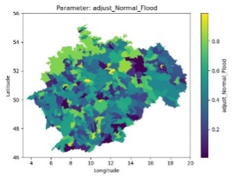
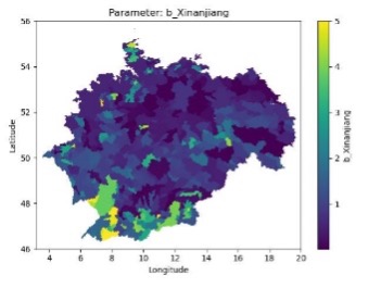
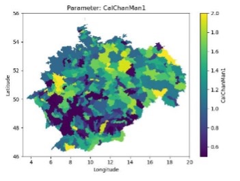
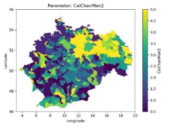
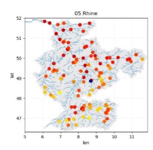
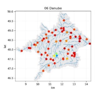
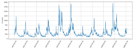
This setup enabled the generation of meteorological forcings, calibration of 14 parameter maps, and performance evaluation using the KGE metric. LISFLOOD was then successfully run over a 30-year period (1990–2021), providing a robust dataset for hydrological assessments in the region.
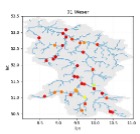
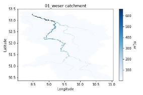
Figure: 2. (a) Shows the computed potential evapotranspiration (ET0, EW0, ES0). (b) shows 4 of 14 parameters of LISFLOOD for all catchments of Germany. (c) Shows the evaluation of the calibration performance using the KGE’ criteria for the Weser, Rhine, Danube and Oder catchments. (d) Shows the spatial-temporal distribution of the streamflows of the Waser catchment computed for the period 1990-2021.


